DRONE INSPECTION SERVICES FORT COLLINS
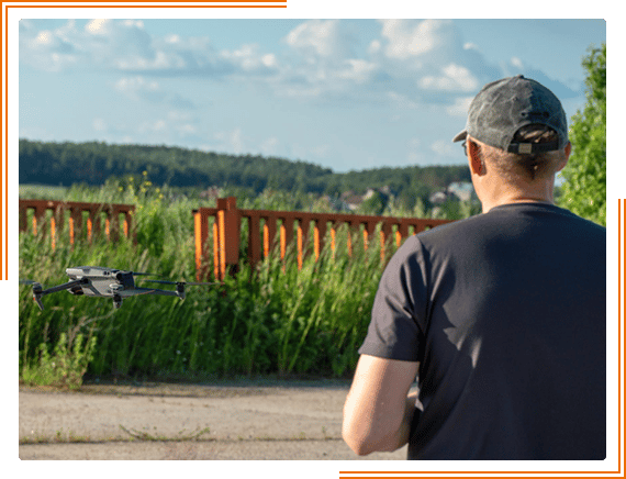
How Aerial Services Work
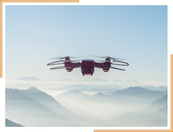
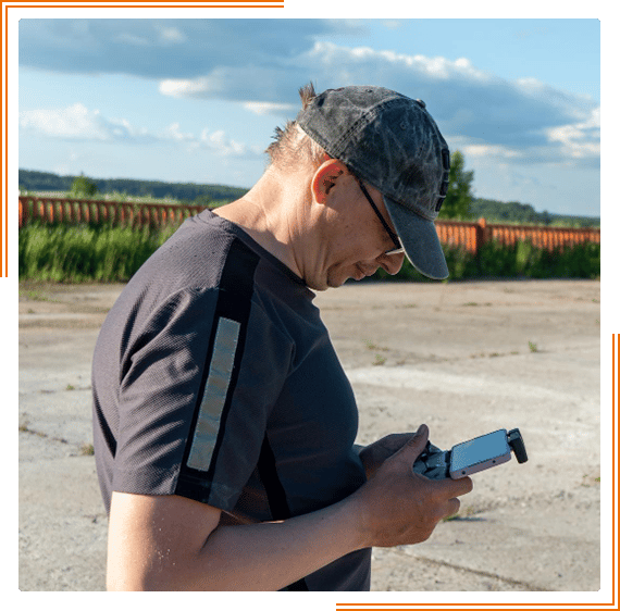
Drones have become an increasingly popular tool for photography and videography in recent years, and good reason. Sky Drone Solutions brings a lot of expertise to the table with drone inspection services Fort Collins.
Aerial drones offer a unique perspective that can be used to capture stunning photos and videos.
Our aerial services use drones equipped with high-resolution cameras to provide our clients with detailed photos and videos of their property.
However, drones are not just for taking pretty pictures. They can also be used for more practical purposes, such as surveying land or inspecting buildings.
Whether you’re looking for stunning aerial footage or detailed data, our drone services can help.
We also offer photogrammetry services, which use drones to create 3D models of land or buildings.
This can be useful for planning construction projects or documenting changes over time.
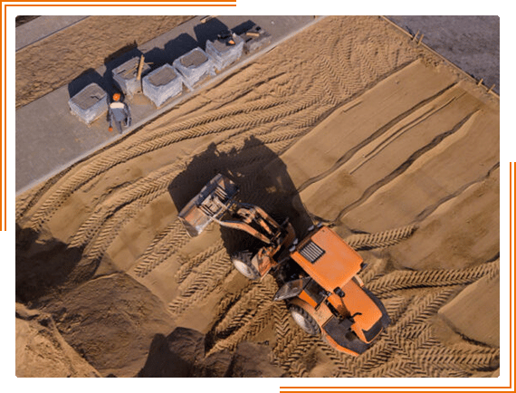
- Monitor the progress of construction sites
- Stop taking guesses non earthwork projects
- Reduce work site accidents
- Get accurate data faster
- Reduce project costs with true data
- Improve your operations and workflows
What Is Aerial Inspection, and Why Is It Important?
A visual inspection is simply an assessment of something done by sight. It is a non-invasive way to examine an item, structure, or system to identify any visible signs of defects, damage, or deterioration.
Visual inspections can be performed on various objects, including buildings, roofing, and facilities. Inspections are essential because they can help to prevent accidents and expensive repairs by identifying potential problems early on.
In many cases, a visual inspection is the first step in a more comprehensive assessment process. For example, suppose a visual inspection of a building reveals cracks in the walls.
In that case, this could prompt a further investigation to determine the cause of the problem and help you make inexpesive proactive repairs.
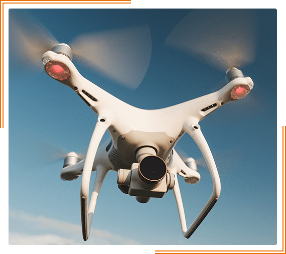
The Benefits of Drone Inspections
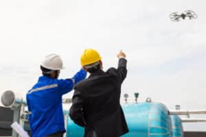
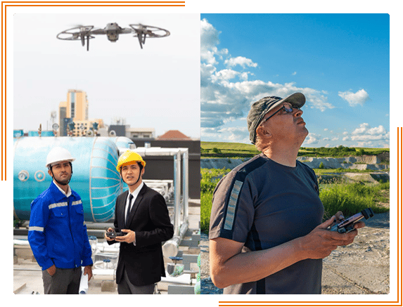
In recent years, drones have become increasingly popular for various applications, from photography to package delivery. However, drones are also an invaluable tool for industrial inspections.
Traditional inspection methods, such as ladder or scaffolding, can be time-consuming and dangerous.
In contrast, drones can quickly and easily provide a close-up view of difficult-to-reach areas, allowing for a more efficient and safer inspection process.
Additionally, drones can be equipped with thermal imaging cameras to detect potential problems that might not be visible to the naked eye.
As a result, drone infrastructure inspections are becoming an increasingly popular option for many industries.
Gather Valuable Data
Drones have become an essential tool for businesses and organizations in various industries.
From construction and real estate to telecommunications and energy, drones are being used to collect data and conduct inspections more efficiently than ever before.
By using drone mapping and inspection services businesses can quickly and easily gather the data they need to make informed decisions.
Whether checking the progress of a construction project or inspecting a power line, drone mapping inspection services offer a cost-effective and efficient solution.
In addition, by using drones, businesses can minimize the risk to their employees and save time and money.
Enable Better Decision Making
Consider drone inspection services if you want to improve decision-making on your construction or infrastructure projects.
With the help of drones, you can get a bird’s eye view of your project site, which can be invaluable for spotting potential problems that will cost you money.
You will also realize the value of drones in inspecting hard-to-reach areas, such as the roof of a building under construction.
In addition, drones can be equipped with thermal imaging cameras, which can help you detect issues that are not visible to the naked eye.
By using drone inspection services in Fort Collins, you can improve the accuracy of your decisions and ultimately save time and money on your projects.
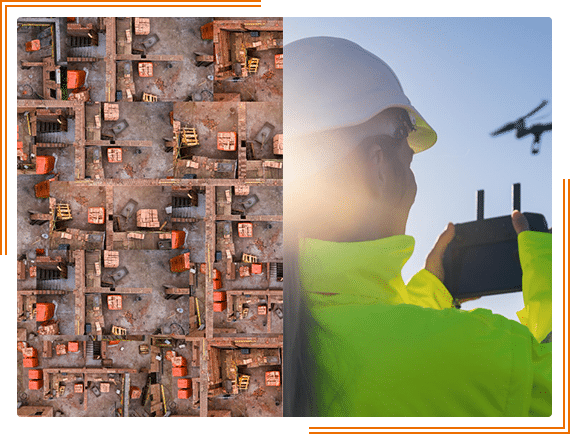
See All Angles
Drones have become an invaluable tool for construction companies, helping them to see all angles of their projects and progress. With drone inspection services and drone video, builders can get a bird’s eye view of their construction site, roofs, and progress.
This helps them to identify problems and make necessary repairs before they cause severe damage. Drones also help builders assess their projects’ progress and ensure they are on schedule.
In addition, drones can take photos and videos of the construction site, which can be used for marketing purposes or to document the project. As a result, drone inspection services are essential to any construction project.
Safely Maneuver in Challenging- to-Reach Locations
A few different techniques can be used to maneuver in challenging-to-reach locations safely. One such technique is known as the handline method.
This involves securing a rope or line to a solid anchor point, then using it to pull yourself up or along to the desired location.
Another common technique is known as the elevator method. This involves creating a makeshift platform out of materials like branches or scavenged lumber, which can then be used to raise or lower yourself (or objects) to the desired height.
Lastly, the human chain method is often used when multiple people are needed to reach a location that would be otherwise inaccessible.
This involves each person holding onto the person in front of them, forming a human chain that can be used to stretch across gaps or climb over obstacles.
Rather then expend all this time and resources just contact us for a free consultation on our commercial photography services.
Fast, Efficient Inspections
A lawn can help to prevent soil erosion. Here are some benefits of using drone services for your business inspections:
– You can cover more ground in less time, inspecting large areas quickly and efficiently.
– Drone services give you a bird’s eye view of the property, allowing you to spot potential problems that would otherwise not be seen from the ground.
– Inspections conducted with drones are non-intrusive, meaning you won’t have to disrupt your business operations to get a clear view of hard-to-reach areas, such as roofs and Gutters, and risk your employees.
– Drone services are cost-effective and will save your business time and money in the long run.
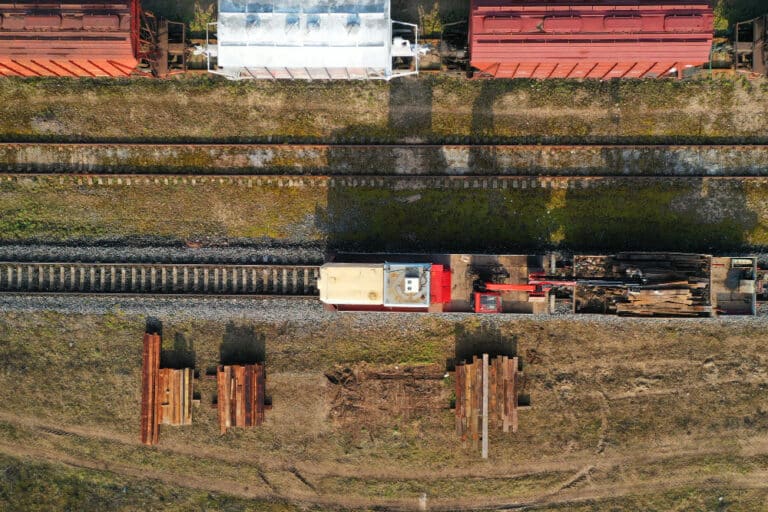
Aerial Drone Inspections
Drones are increasingly used for various tasks, from delivering packages to taking aerial photographs.
By using aerial photography and taking a few dozen high quality pictures and even using drone video we can build a 3D searchable model of your job site.
One surprising use for drones is Inspection.
If you need to inspect a tall building or a large piece of machinery, sending a drone is much easier and safer than putting someone on a ladder.
Drones can also reach places that are difficult or dangerous for humans to access, such as the top of a wind turbine.
In addition, drones can be equipped with high-definition cameras and other sensors that allow them to gather the information that would be difficult to obtain manually.
Drone inspection is becoming an invaluable tool for many industries.
If you need drone inspection services Fort Collins please contact us today for a free consultation.
Visual Inspection with 3d models
Drones are becoming increasingly popular for various purposes, including mapping and surveying.
The data collected by drones can be used to create detailed maps and visualizations. Drone mapping is a cost-effective way to create accurate 3D models of an area.
This information can be used for various purposes, such as planning construction projects, evaluating the terrain, or inspecting land use.
Visual Inspection with 3D models effectively assesses an area without physically visiting the site.
Drone mapping services can provide high-quality data that can be used to make informed decisions.
Drone data will save you a ton of time.
Drones are becoming increasingly popular for various purposes, from photography to delivery. However, their most potential may lie in the field of data collection.
Aerial services and aerial video can provide insights that would be difficult or impossible to obtain from the ground, and the data they collect can be used to save time and money.
For example, drones can survey crops, track wildlife, or inspect infrastructure
In each case, drone data can help to inform decision-making and improve efficiency.
In the future, drones will likely play an even more critical role in data collection as they become more advanced and widely available.
Start gaining a competitive edge and hire a professional drone photography service in Fort Colls today that will help you use data effectively and give you a significant advantage.
High-resolution images
As any project manager knows, one of the most critical aspects of successful project management is tracking progress and identifying potential problems early.
High-resolution images from drone mapping services and aerial photography can provide a clear and up-to-date view of the project site.
Reliable drone photography and aerial video can be used to monitor progress, spot potential problems, and make decisions about resource allocation.
In addition, high-resolution images can help document the project for future reference, providing a valuable record of what was accomplished.
For these reasons, high-resolution images from drone mapping services can be valuable for any project manager. We also offer Denver construction inspections too.
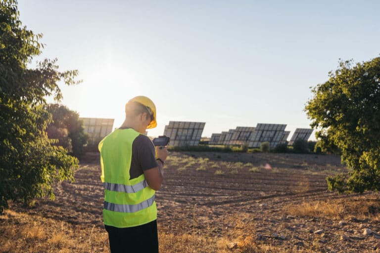
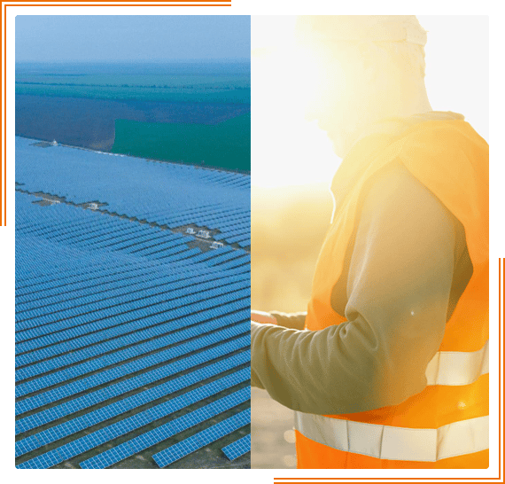
Get more output from solar panels
As the cost of solar panels continues to fall, more and more businesses are turning to solar energy to power their operations. However, solar panels can lose up to 20% of their efficiency over time due to dust, dirt, and debris.
One way to combat this loss of efficiency is to perform regular inspections with drones and aerial photography.
Drones equipped with thermal cameras can quickly identify areas with drone photography where panels are dirty or damaged, allowing for targeted cleaning and repairs.
In addition, drone mapping and drone video can be used to create 3D models of solar arrays, which can help to optimize panel placement and maximize output.
As a result, businesses that invest in drone inspections can enjoy greater returns from their solar investments.
Inspections at a safe distance will reduce accidents
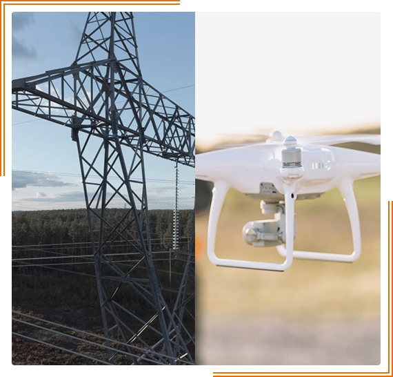
Drones have increasingly become a staple in various inspection tasks due to their ability to reach difficult or dangerous areas without harming workers in harm’s way.
For example, power companies have used drones to inspect hard-to-reach areas of towers and wind turbines. In contrast, pipeline operators have relied on them to check for leaks and other damage.
In each of these cases, using drone photography and drone video has helped to improve safety by reducing the need for workers to climb or otherwise physically access hazardous locations.
Given the growing track record of success, it stands to reason that drone inspections can also help to reduce accidents in other industries where workers are exposed to potential risks.
By conducting regular inspections with drones, companies can identify potential hazards before they cause injuries,
making it easier to implement necessary safety precautions. In this way, drone inspections can play a vital role in protecting workers and preventing accidents.