Sky Drone Solutions News and tips
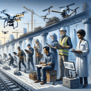
Upgrading To Drone Inspection Systems
If you want to stay ahead in today’s fast-paced industries, upgrading to drone inspection systems could be your game-changer. Drones are revolutionizing inspections by delivering

Faster Inspections: Advantages of Drone Inspections
Traditional inspection methods can be time-consuming, costly, and sometimes hazardous. Drone inspections offer a safer, faster, and more cost-efficient alternative, providing high-resolution imagery, real-time data

The Ultimate Guide: Features of Leading Drone Inspection Services
Drone inspection services have revolutionized how industries conduct assessments, offering faster, safer, and more precise data collection. From infrastructure and energy sectors to agriculture and
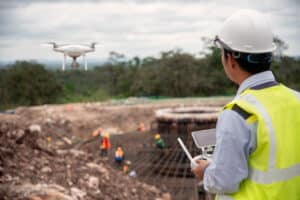
Evaluate ROI from Drone Inspections for Cost Measure
In industries where inspections play a critical role, from construction to agriculture and energy, understanding the return on investment (ROI) from innovative solutions is essential.
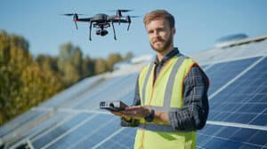
Solving Solar Inspection Challenges: Drone Solutions to Solve Inspection Problems
The Importance of Solar Inspection in Maintaining Efficiency In the era of renewable energy, maintaining the efficiency of solar panels is crucial for optimal performance
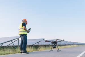
Solar Panel Drone Inspection Accuracy: Key Insights on Solar Inspections with Drones
Understanding Thermography for Accurate Drone Inspection Thermography plays a crucial role in the accuracy of solar panel drone inspections. It uses infrared technology to detect temperature variations
