

Steve Dempsey
Owner
Steve Dempsey operates Sky Drone Solutions, a Fort Collins, Colorado provider of aerial photography, videography and drone inspection services for construction, agriculture and industrial clients. He brings 25 years in the technical, IT and business operations world, and also owns NeoTech Networks LLC, a managed IT services company.
Aerial Drone Services in Denver: What Industries Benefit Most
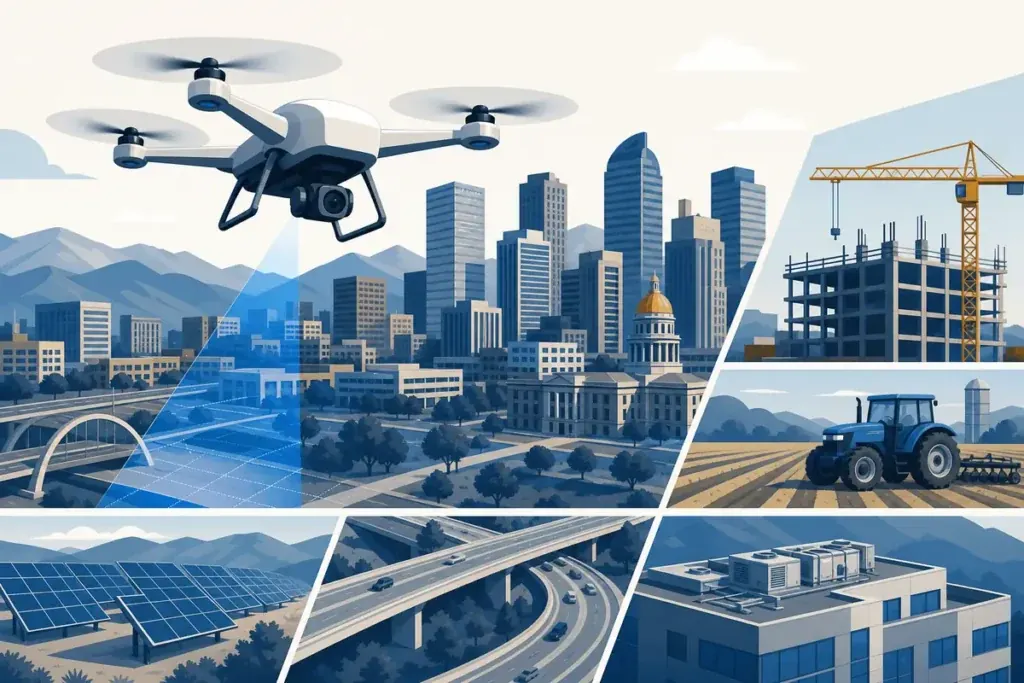
Aerial drone services in Denver deliver measurable ROI across construction, real estate, utilities, and agriculture. Here is which industries benefit most and why.
Commercial Drone Photography in Denver: What to Expect in 2026
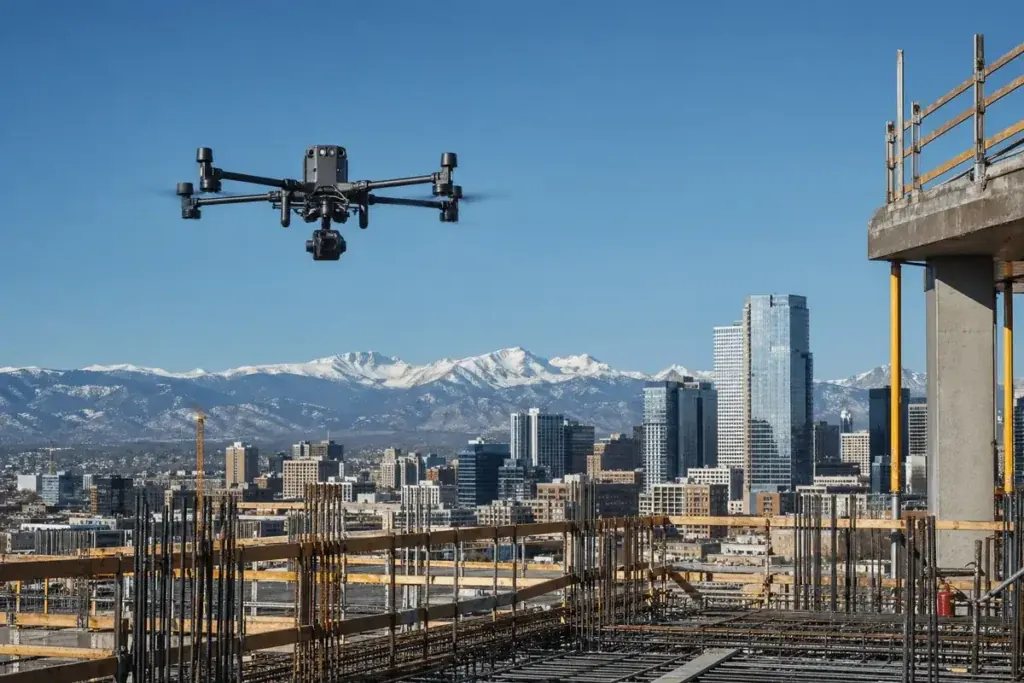
Commercial drone photography in Denver in 2026: what to expect on deliverables, pricing, regulatory paperwork, and how to choose a Front Range provider.
Aerial Drone Services in Denver: What Industries Benefit Most

Last updated: April 15, 2026 Key Takeaways Aerial drone services in Denver serve construction, energy, mining, real estate, agriculture, and infrastructure sectors with measurable cost and time savings. Colorado’s varied terrain and rapid urban growth along the Front Range make drone technology a practical necessity rather than a luxury. FAA Part 107 certified operators deliver […]
Upgrading To Drone Inspection Systems

If you want to stay ahead in today’s fast-paced industries, upgrading to drone inspection systems could be your game-changer. Drones are revolutionizing inspections by delivering faster, safer, and more accurate results – helping companies cut project delays, reduce risks, and unlock new levels of efficiency. In this article, we’ll explore the essential equipment for effective […]
The Ultimate Guide: Features of Leading Drone Inspection Services

Drone inspection services have revolutionized how industries conduct assessments, offering faster, safer, and more precise data collection. From infrastructure and energy sectors to agriculture and construction, drones provide high-resolution imaging, AI-powered analytics, and real-time monitoring, minimizing risks and operational costs. But what exactly sets leading drone inspection services apart? In this guide, we’ll explore the […]
Evaluate ROI from Drone Inspections for Cost Measure

In industries where inspections play a critical role, from construction to agriculture and energy, understanding the return on investment (ROI) from innovative solutions is essential. Drone inspections have revolutionized how businesses assess infrastructure, monitor progress, and gather data, offering a faster, safer, and more cost-effective alternative to traditional methods. However, evaluating ROI from drone inspections […]
Solving Solar Inspection Challenges: Drone Solutions to Solve Inspection Problems

The Importance of Solar Inspection in Maintaining Efficiency In the era of renewable energy, maintaining the efficiency of solar panels is crucial for optimal performance and ensuring the sustainability of energy facilities. Solar inspections play a pivotal role in achieving this goal. They are vital for identifying potential issues and conducting timely maintenance, guaranteeing the […]
Solar Panel Drone Inspection Accuracy: Key Insights on Solar Inspections with Drones
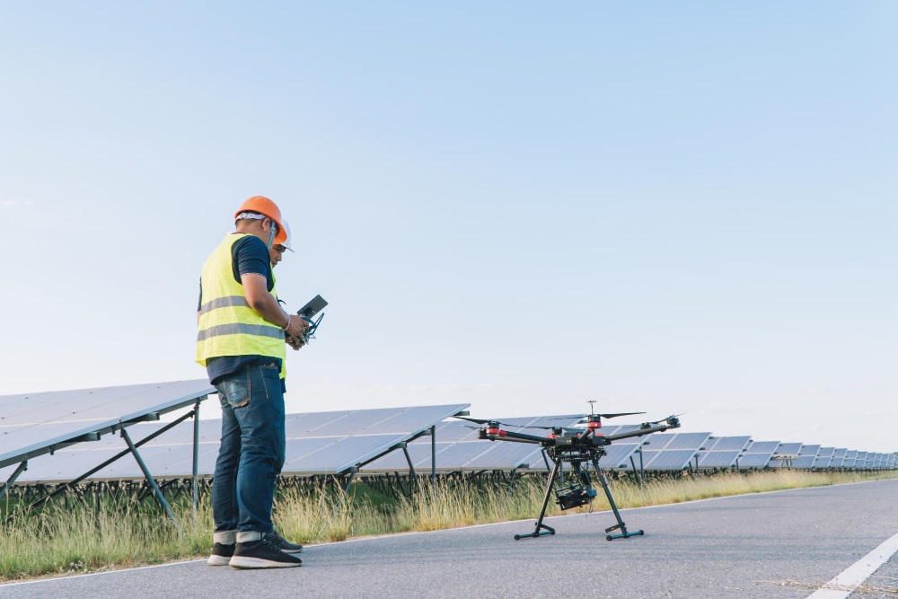
Understanding Thermography for Accurate Drone Inspection Thermography plays a crucial role in the accuracy of solar panel drone inspections. It uses infrared technology to detect temperature variations across the panels, allowing drones with advanced cameras and sensors to capture high-resolution images and conduct thorough inspections. Aerial thermal imaging technology can identify potential issues, such as micro-cracks or […]
Case Studies on Drone Usage in Inspections: Drone Inspections Use Cases
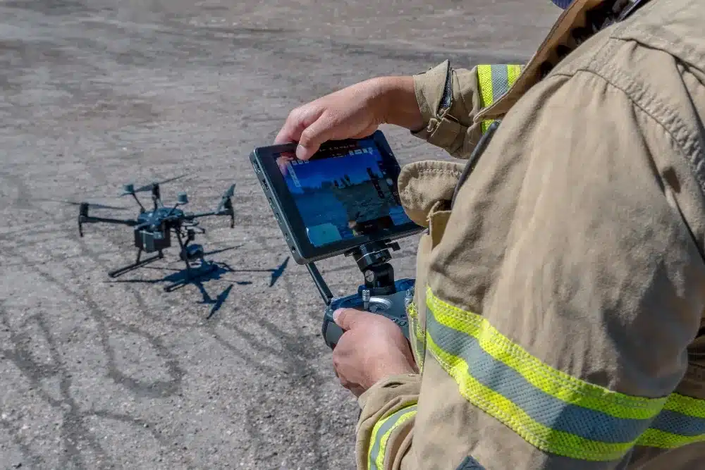
Introduction to Drone Inspections and Their Benefits As industries seek innovative solutions for asset management, drone inspections have emerged as a game-changer, offering significant benefits across various sectors. Utilizing UAVs for inspections helps improve operational efficiency while reducing risks and costs. One significant benefit of drone inspections is their ability to access hard-to-reach areas without […]
Features of drone mapping systems: Drone Mapping Software and Key Use Cases
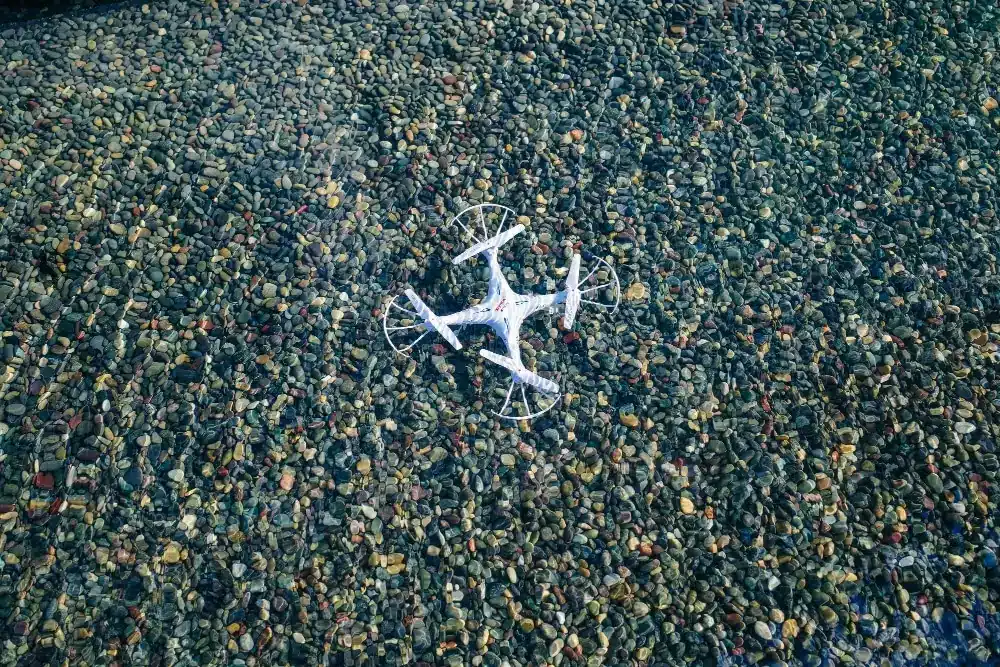
What Is Drone Mapping? Drone mapping is a powerful method of capturing aerial data to produce accurate and detailed representations of the Earth’s surface. Mapping can be conducted over large geographical areas using drones equipped with specialized cameras and sensors, providing invaluable insights for various sectors. The resulting drone map is a high-resolution representation that […]