Last updated: April 15, 2026
Key Takeaways
- Aerial drone services in Denver serve construction, energy, mining, real estate, agriculture, and infrastructure sectors with measurable cost and time savings.
- Colorado’s varied terrain and rapid urban growth along the Front Range make drone technology a practical necessity rather than a luxury.
- FAA Part 107 certified operators deliver survey-grade data that meets engineering and regulatory standards.
- Industry data confirms significant ROI across every major use case. See the numbers below.
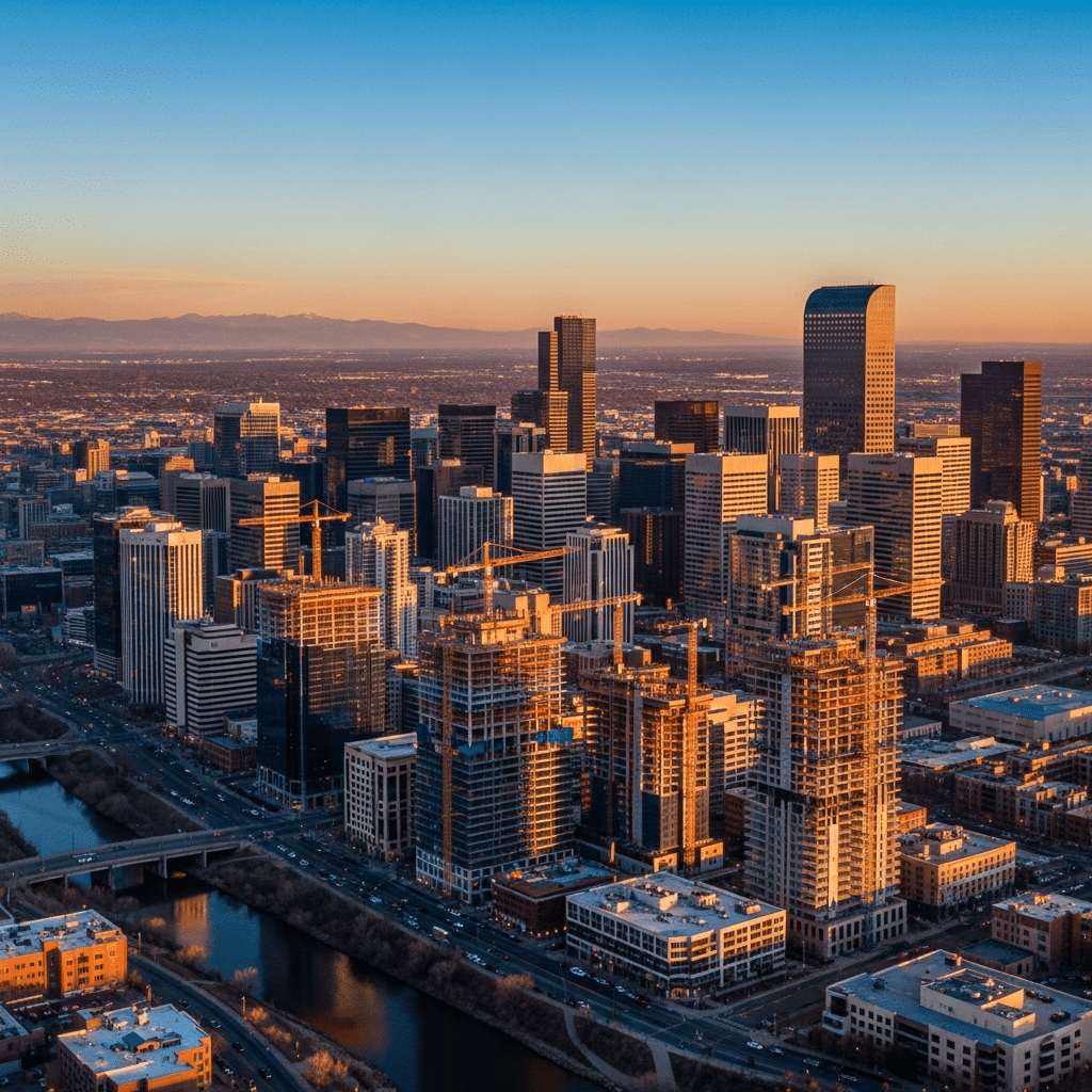
Denver’s construction boom, expanding energy sector, and diverse geography create ideal conditions for aerial drone services. If your organization operates anywhere along the Front Range, you have likely noticed drones showing up on job sites, above rooftops, and across agricultural fields with increasing regularity.
Aerial drone services in Denver are no longer experimental. They are a standard part of how Colorado businesses collect data, monitor assets, and reduce operational risk.
Construction Site Surveying
Construction firms across the Denver metro area use drone-based photogrammetry to generate orthomosaic maps, 3D terrain models, and volumetric measurements. A single flight over a site in the DTC or along the I-25 corridor can produce survey-grade data in a fraction of the time a ground crew requires. For related reading, see our guide on Upgrading To Drone Inspection Systems.


Traditional land surveys for a mid-size commercial project can take multiple days and cost thousands of dollars. Drone surveys typically cut that timeline to hours while delivering accuracy within two centimeters when using ground control points.
General contractors and civil engineers use the resulting point clouds and digital elevation models for grading verification, progress tracking, and stakeholder reporting. The data integrates directly with BIM software and CAD platforms your teams already use.
For projects in LoDo, RiNo, and other urban infill zones where site access is tight, drones eliminate the need to shut down active work areas for survey crews. That translates to fewer schedule delays and lower soft costs per phase.
Oil and Gas Inspections
Colorado’s oil and gas industry operates thousands of wellheads, pipelines, and processing facilities across the DJ Basin and Front Range. Visual inspections of flare stacks, storage tanks, and pipeline corridors have historically required scaffolding, rope access teams, or manned helicopter flights.
Drones equipped with thermal and optical zoom cameras now perform those same inspections without putting personnel at height or near pressurized equipment. A thermal scan of a tank battery can identify insulation failures, leaks, or abnormal heat signatures in a single pass.
Regulatory compliance drives much of the demand. The Colorado Energy and Carbon Management Commission requires routine inspections, and drone-captured documentation provides timestamped, geotagged evidence that satisfies audit requirements.
Operators report that switching from manned helicopter inspections to drone-based programs reduces per-inspection costs by 50 to 70 percent while increasing inspection frequency.
Mining and Quarry Mapping
Aggregate producers and mining operations along the Front Range rely on accurate volumetric data to manage inventory, plan extraction sequences, and meet reporting obligations. Drone-based LiDAR and photogrammetry deliver stockpile measurements that match or exceed the accuracy of traditional ground-based methods.
A drone can map an entire quarry in under an hour, producing a georeferenced 3D model that your operations team can use to calculate cut-and-fill volumes the same day. Manual surveys of the same area would typically require two to three days and expose survey crews to active haul roads and unstable slopes.
Monthly or quarterly flyovers create a time-series dataset that tracks material movement, pit wall stability, and reclamation progress. That historical record becomes valuable during permitting reviews and environmental compliance audits.
Real Estate and Commercial Photography
Denver’s competitive commercial real estate market demands listing content that stands out. Aerial photography and videography give prospective buyers and tenants a perspective that ground-level shots simply cannot match.
Properties in Cherry Creek, the DTC, and along the I-25 corridor benefit from elevated angles that showcase proximity to transit, mountain views, and surrounding amenities. Drone footage of a Class A office campus or industrial park communicates scale and context in seconds.
Beyond marketing, drone-captured roof and exterior condition assessments support due diligence during acquisitions. A pre-purchase aerial inspection can flag deferred maintenance issues before they become negotiation surprises.
Agriculture and Crop Management
Colorado’s agricultural operations east of Denver and across the plains use multispectral drone imaging to monitor crop health, detect irrigation inefficiencies, and identify pest or disease pressure before it spreads. A single flight with a multispectral sensor produces NDVI maps that quantify plant vigor at the individual row level. For related reading, see our guide on Faster Inspections: Advantages of Drone Inspections.
Precision agriculture programs built on drone data allow you to apply fertilizer, herbicide, and water only where needed. That variable-rate approach reduces input costs by 15 to 25 percent on typical Colorado wheat and corn operations.
Livestock operations use thermal imaging to locate animals across large pastures and identify individuals showing signs of illness based on body temperature anomalies. The technology replaces hours of windshield time with a 30-minute flight.
Infrastructure Inspection
Bridges, cell towers, power lines, and water infrastructure across the Denver metro area require regular condition assessments. Traditional inspection methods often involve lane closures, bucket trucks, or rope access teams, all of which carry significant cost and safety overhead.
Drones equipped with high-resolution cameras and LiDAR sensors can document every square inch of a bridge deck, tower face, or transmission line corridor without disrupting traffic or exposing inspectors to fall hazards. The resulting imagery is detailed enough to identify hairline cracks, corrosion, and vegetation encroachment.
Municipal agencies and utilities across Colorado are adopting drone inspection programs to extend the intervals between expensive manned inspections while maintaining or improving data quality. Your maintenance team receives a georeferenced report with defect annotations rather than a clipboard of handwritten notes.
Drone Industry Impact by the Numbers
Frequently Asked Questions
Do you need FAA authorization to fly drones commercially in Denver?
Yes. All commercial drone operations in the United States require the pilot in command to hold an FAA Part 107 Remote Pilot Certificate. Flights in Denver airspace may also require LAANC authorization due to proximity to Denver International Airport and Centennial Airport.
How accurate are drone surveys compared to traditional land surveys?
Drone photogrammetry with ground control points consistently achieves horizontal accuracy within 1 to 2 centimeters and vertical accuracy within 3 to 5 centimeters. That meets or exceeds the requirements for most construction and engineering applications in Colorado.
Can drones operate in Colorado winter conditions?
Most commercial drones are rated for operation in temperatures as low as -10 degrees Celsius. Winter flights along the Front Range are routine, though high winds above 25 mph may require rescheduling for safety and data quality reasons.
What deliverables do you receive from a drone inspection?
Typical deliverables include high-resolution orthomosaic maps, 3D point clouds, digital elevation models, thermal imaging reports, and annotated inspection summaries. All data is geotagged and exportable to standard GIS and CAD formats.
How much do aerial drone services cost in the Denver area?
Pricing depends on project scope, site size, and deliverable requirements. Small commercial property aerial photography typically starts around $300 to $500, while large-scale construction or mining surveys range from $1,500 to $5,000 per mobilization.
For more information on how Denver businesses are adopting technology-driven solutions, visit the Denver Metro Chamber of Commerce.
Get Started with Aerial Drone Services in Denver
Your next project deserves data that is accurate, timely, and captured without putting anyone at risk. Contact Sky Drone Solutions to discuss how aerial drone services can reduce costs and improve outcomes for your Denver-area operation. For related reading, see our guide on The Ultimate Guide: Features of Leading Drone Inspection Services.