Features of drone mapping systems: Drone Mapping Software and Key Use Cases

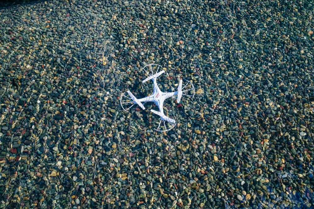
What Is Drone Mapping? Drone mapping is a powerful method of capturing aerial data to produce accurate and detailed representations of the Earth’s surface. Mapping can be conducted over large geographical areas using drones equipped with specialized cameras and sensors, providing invaluable insights for various sectors. The resulting drone map is a high-resolution representation that […]
